Words by Gwen O'Toole
Images supplied
Nature enthusiasts and adventurers take note, these walking trails are sensationally scenic. Lace up your comfiest hiking boots, grab your water bottle and explore some of the best walks along Australia’s longest river.
Kings Billabong Nature Trail – Mildura

An excellent option for those looking for an easier walking trail, this 9.2 km return trail is popular among walkers, cyclists and bird enthusiasts, it wanders through the river red gums to the historic water pumps at Psyche Bend. Used for moving water from the Murray River to Kings Billabong, it became a vital irrigation system for Mildura’s wine and fruit-growing region in the late 1800s.
Along the way, stop at Bag Bridge for a picnic or a rest to fully enjoy the surroundings, keeping a keen eye out for waterbirds such as ducks, spoonbills and kingfishers.
How to find it: Turn right off Irymple Avenue in Mildura at the Kings Billabong Park sign. Follow the Parks Victoria signs to the walk.
Barmah Lakes Loop Track – Echuca
The Barmah National Park and Murray Valley National Park combine to create the largest red gum forest in the world. The 4km circular walking track takes just shy of two hours to complete as you wander through the towering red gums passed cooking mounds of the Indigenous Yorta Yorta people, Barmah Lake, the Murray River and Broken Creek.
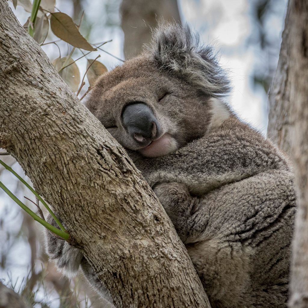
Camping areas are available along the Murray River portion of the Park and it’s not uncommon to spot native eastern grey kangaroos, koalas and hundreds of bird species along the walk.
How to find it: This loop track begins and ends at the Dharnya Centre. While the Centre itself is currently closed, the track as well as other walks in the region are open for exploring.
Pink Lakes Trail – Murray-Sunset National Park
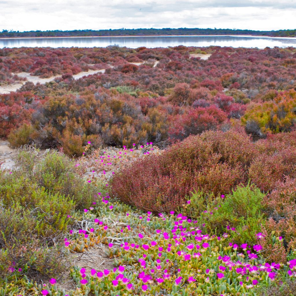
These super salty, Insty-famous pink lakes are at their best bubble-gum hue on a sunny day, just following a big rain between 10 am and 2 pm. The Pink Lakes Trail is an intermediate-level hike just a tad over 4 km long.
Along this historic trail, keep an eye out for relics of the historic railway used to haul crystal salt from the shore including a former skip frame from the Sailor Salt Co. You’ll also spot cordwood slipways created from the lake shore to make salt extraction easier. Lake Becking offers a basic free camping site where you relax beside this blushing beauty and watch how the colour changes throughout the day.
How to find it: You can spot this rosy wonder all the Mallee Highway, in northwest Victoria, roughly 60km west of Ouyen. The trail is best accessed from the nearby Lake Becking camping area.
Goanna Walking Track – Koondrook
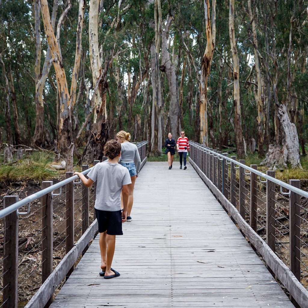
As part of the Gunbower State Forrest, this easy-to-walk 3.2km looped track is set amid gorgeous wetlands and includes the Gunbower Creek Footbridge. Follow along and you’ll return to Koondrook via the historic Condidorio’s Bridge. Walking among the redgums along the creek, you might spot a kangaroo overlooking the bushland or the abundant birdlife that calls this reserve land home.
If you’re keen to make an overnight of it, this track passes Koondrook Retreat where you stay in a creek-side safari-style glamping tent and wake to birdsong. Take the time to visit the Koondrook Waterfront and Wharf before you go home- it’s well worth the stop whether you’re a history buff or not, the views here are photo-worthy.
How to find it: Start at the footbridge near Koondrook Retreat or park just over the bridge on Gunbower Island at the start of the Red Gum Walking Tracks.
Kinnairds Wetlands Walks – Numurkah
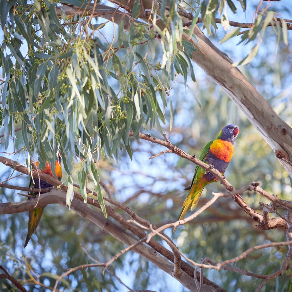
Three walks weave their way through these luscious wetlands, offering a spectacular glimpse into the diverse range of native woodlands and birdlife and more. The best bit? All three can easily be done in a day. The constructed trail walks are popular with cyclists and bushwalkers as they include easy terrain with boardwalks and picnic spots.
The Red Gum Walk Loop is 3.5 km and passes by towering red gums that are hundreds of years old. It also features some beautiful views around the entire wetland region.
The 2 km Wetland Walk Loop Trail takes you over a boardwalk for views over the eastern side of the wetlands. Bird enthusiasts, keep an eye out for the bird life. The shorter Young Red Gum Trail connects to the spillway boardwalk through the river red gum regeneration forest. Here the habitat change appeals to different bird and wildlife species. If you’re a bird person, you can grab both a map and a list of resident bird species from the visitor centre on Melville Street in Numurkah.
How to find it: From Kinnairds Road in Numurkah, the trails are accessible via Wattle Drive, Quinn Street and Naring Road.
Hume and Hovell Walking Track – Albury
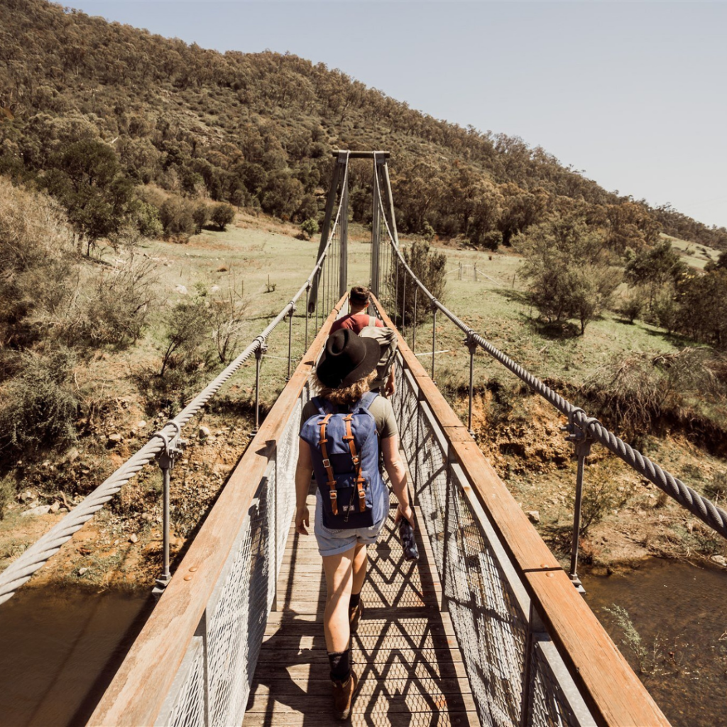
If long-distance hiking is calling your name, this 426km trail should be at the top of your list. Starting at Cooma Cottage in Yass, it closely follows the route taken by explorers Hamilton Hume and William Hovell in 1824-1825 as they sought new grazing land.
Taking anywhere from 18 to 26 days to complete, walkers can tackle this one bit by bit as a day hike (all the shorter walks are signposted), or do the whole track start to finish from Albury to Yass (or Yass to Albury).
With more than 100 footbridges along the way, you’ll pass through cool-climate forests, weaving along the river’s edge travelling by waterfalls, creeks, wetlands, several campsites and picnic spots as you go. Portions of the trail are easy to stroll while others are more difficult. Grab a map or visit the trail website and make your plan.
How to find it: Depending on the trail you choose; you’ll begin at different starting points. Maps and guidebooks with packing lists, tips etc., can be found online or obtained from the Visitor Centre in Yass.
NOTE:
As with all outdoor adventures, it’s important to remember that mobile phone reception may not be available everywhere, so walk with a partner or two or let someone know where you’ll be, stay on the marked trails, take plenty of water with you and always leave the trails as beautiful as you found them (i.e., take any rubbish with you.)
We wish to acknowledge the traditional owners of this land and to pay our respects to their Elders, past and present.
